
GIS · Web · AI / ML · Development
Where innovation meets geography.
We turn imagery, point clouds and GIS layers into software and answers you can act on — built by a small team you talk to directly.

01 — Services
Four disciplines, one team.
Most projects need more than one. We cover data processing, machine learning, web services and custom software, so nothing gets lost between vendors.
GIS data processing
Cleaning, converting and analysing spatial data at production scale.
- Processing & analysis
- Format conversion
- Image processing
- Production automation
Machine learning
Models trained on your imagery and point clouds, from annotation to benchmark.
- Object detection
- Segmentation & classification
- Point cloud classification
- Regression, GAN models
Web & cloud GIS
Services that put your data in front of users and other systems.
- WMS / WFS / GeoServer
- AWS & Azure
- REST APIs
- Web + desktop hybrids
Custom software
Plugins, viewers and tools built on the platforms you already use.
- ArcGIS SDK
- MicroStation API
- GDAL
- C# / .NET, Python, JS
02 — Selected work
Real data, real deliveries.

Object detection for road damages
Trained model for four road damage classes, with a multi-user annotation pipeline.
Case study →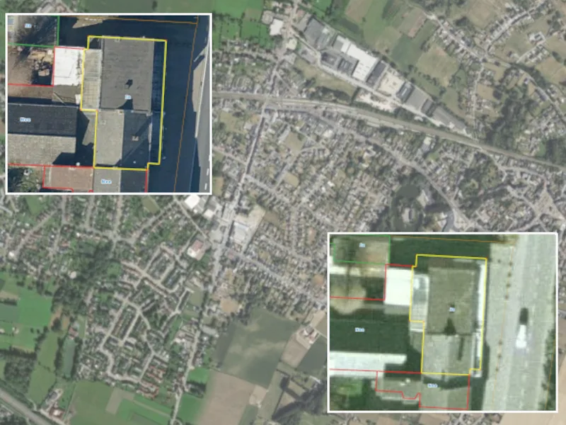
Asbestos project
≈260 000 roofs across Belgium assessed with custom QGIS plugins.
Case study →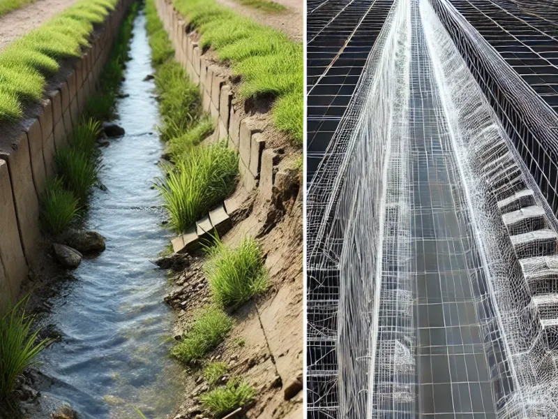
Smart survey
Frame extraction from survey video with blur analysis — 2–5× faster post-processing.
Case study →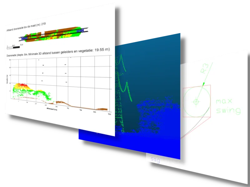
Vegetation management
Automatic detection of vegetation in power-line protection zones, reported as XLS + PDF.
Case study →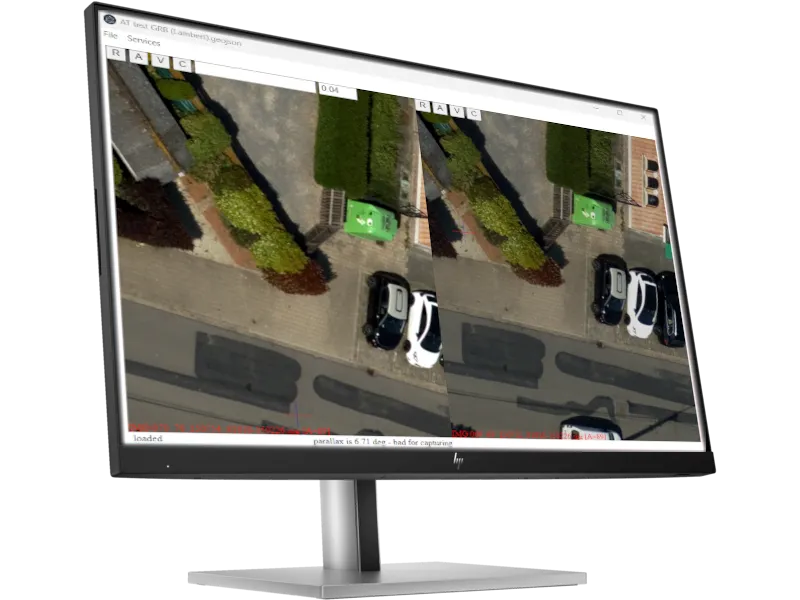
Oblique viewer plugin
Cross-platform oblique imagery viewer with 3D vector capture for QGIS, BricsCAD, MicroStation.
Case study →


03 — Approach
The “+” is you.
You work with the engineers who build your solution. No account managers, no hand-offs — and a clear scope from day one.
+01 · Scope
Look at your data
A short call and a sample of your data. You get a written scope, timeline and fixed estimate.
+02 · Build
Prototype, then scale
We prove the approach on a small area first, then automate it for the full dataset.
+03 · Deliver
Hand over what works
Results in your formats and systems, documented, with support after delivery.
Tools we work with
- ArcGIS SDK
- MicroStation API
- GDAL
- GeoServer
- Python
- C# / .NET
- Node.js
- Vue.js
- React
- TensorFlow
- PyTorch
- AWS SageMaker
- Azure ML
- Google Colab
04 — Contact
Got spatial data and a problem?
Tell us what you have and what you need. We reply within one working day with questions or a first estimate.
Helpful to include
- What data you have (type, area, volume)
- What you need as output, and in which format
- Timeline and any systems it must fit into